Flood Elevation Certificates Service
Call JBL today 516.503.9898 or fill our the form below and we'll contact you
Contact Us
We will get back to you as soon as possible.
Please try again later.
Office Location
Melville, NY 11747
Quick Contact Us
Email us: Info@JBLMapping.com
Call us: (516) 503-9898
Quick Contact Us
- Mon - Fri
- -
- Sat - Sun
- Closed
Flood Elevation Certificates
Flood Elevation Certificates are documents that provide information regarding the elevation of a property in relation to the base flood elevation (BFE), which is set by the Federal Emergency Management Agency (FEMA) (FEMA). To determine a property's level of flood risk and the associated insurance costs, mortgage lenders, insurance companies, and local authorities almost always need to see the certificates.
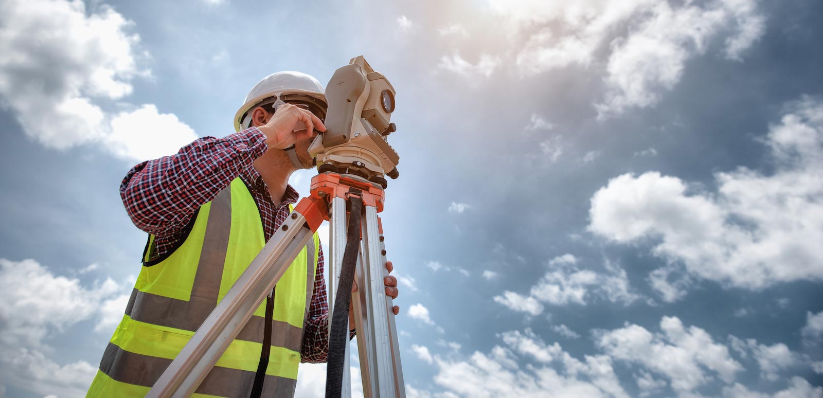
The certificates contain information such as the elevation of the property, the classification of the flood zone, and the characteristics of the structure, such as the kind of foundation and flood openings. Typically, a qualified surveyor or engineer will prepare the certificate by completing a survey of the property and collecting essential data, such as topographic maps and floodplain data. This will be done to prepare the certificate. A certificate is a vital tool for property owners to understand the flood risk associated with their properties and to take measures to protect their properties from the possibility of flood damage.
Why request a FEMA Elevation Certificate?
A flood elevation certificate helps clients to determine the precise location of their property in relationship to the base flood elevation.
If your property is located within a flood hazard zone as determined by FEMA (Federal Emergency Management Agency) you may be required to complete a flood elevation certificate in order to purchase flood insurance, as a part of the sale of the property or as a part of a new construction or remodeling process for a building.
An elevation certificate measures and records the elevations around a property and compares them to the floodplain elevations determined by FEMA. This process allows owners to demonstrate compliance with flood plain management ordinances and helps an insurance estimator or public officials determine the actual flood risk to a property.
Partner’s Flood Elevation Coordination Services include:
Elevation Certificate
What You Receive From Us?
Experience & Expertise
JBL Mapping has a team of experienced and certified specialists who are experts in mapping and land surveying.
Comprehensive Services
We provide our customers with topographic surveys, boundary surveys, construction staking, and more.
Timely and Efficient
It's our priority to provide our services in a fast and effective manner, without lowering our standards for the quality of those services.
Accurate & Reliable Results
JBL Mapping uses advanced technology and state-of-the-art equipment and ancient records to deliver highly accurate and reliable mapping and land surveying results.
Subscribe Newsletter
Stay in touch with us to get latest news.
Subscribe Newsletter
We will get back to you as soon as possible.
Please try again later.
Opening Hours
- Mon - Fri
- -
- Sat - Sun
- Closed
About Us
JBL Mapping Inc is a multi-faceted, full-service Long Island land surveying company with Land Surveying consulting services available as needed for all types of projects.
Our Services
Recent Posts


